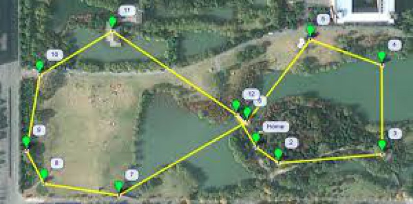
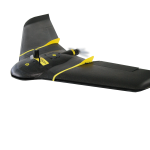
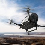
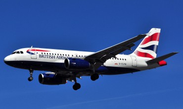
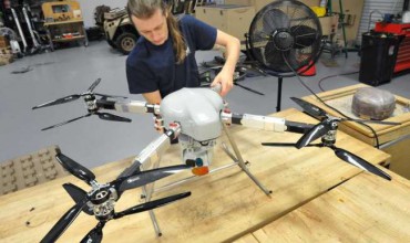
A company called PrecisionHawk is currently working on ways to efficiently and effectively control unmanned aircraft in a safe and reliable way. The company is using a system called LATAS (Low Altitude Traffic and Airspace Safety), which uses cell networks and satellites to map the flying area around a UAV or drone and ensure that is has a clear airspace. This will be essential for future visions of package delivery and other unmanned uses of drones for business and commercial endeavors. This technology, once fully developed, should allow for drones to fly outside of the line of site that is today required for safety.
Click here to see more about this technology.
Related Posts
Spread the love

